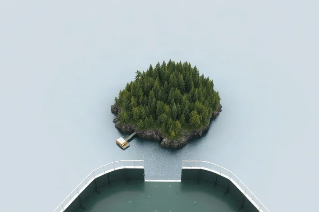
Lummi Island, Washington, is reached by a county ferry and is home to a close-knit community with local government. Access, community life and government all shape the island’s daily rhythms.
The ferry connects the island with the mainland, while the community’s needs are addressed through local institutions and county services. For residents and visitors alike, understanding how those pieces fit together offers a practical guide to life on Lummi Island.
| Question | What to check | Why it matters |
|---|---|---|
| Ferry access | Current crossing information | The island is ferry-dependent |
| Beach visit | The specific access point and route | Public access is limited to small points |
| Nation service or permit | The responsible Lummi Nation office | The Nation has distinct government and service institutions |
| Short-term rental | Whatcom County Planning & Development Services | Requirements can change |
| Mail or local news | Focused island mail and news guides | These are separate from ferry and governance questions |
- 0.042m (0.136 feet) Vertical Root Mean Square Error (RMSEz) of the LiDAR dataset
- approximately 222 square miles Area surveyed for the LiDAR dataset
What does Lummi Island, Washington, mean for a visitor’s plans?
Lummi Island’s ferry-dependent access means you should plan the crossing before treating a mainland appointment or errand as a quick drive.
The island’s rural character is better suited to a measured visit than a waterfront circuit by car. Bluff-top roads offer places to walk, while public beach access is limited to small points; there is no continuous public route along the shore.
Plan the crossing and shore stops
Check current ferry crossing information before leaving, then confirm that your intended destination or beach access point is open to visitors. Shore access varies by location, so a stop on one part of the island does not mean the next stretch of shoreline is publicly reachable.
Use a dedicated Lummi Island map guide to distinguish roads from shoreline and mark the public access points before you set out. That helps you plan a walk around actual access rather than assuming the coast is open end to end.
Why is the island’s government easy to misunderstand?
Lummi Island government is easy to misunderstand because the Lummi Indian Business Council governs the Lummi Nation under the Nation’s constitution and laws, which is not the same thing as county administration.
The Nation has institutions for fisheries and natural resources, as well as courts, health, education, planning, public safety and social services. Those responsibilities span community needs and decisions about the homeland; they should not be treated as one general island office.
Start with the issue
Salmon, shellfish, water quality and treaty fishing rights are central Lummi Nation priorities. Natural-resource decisions therefore connect directly to community and cultural life, rather than sitting apart as technical matters.
For a permit, service or jurisdiction question, identify the office responsible for that specific issue. A question about fisheries, health services or planning may involve different Nation institutions; do not assume that an island-wide rule or county office answers them all.
Why shouldn’t a map replace local access checks?
A map should not replace local access checks because LiDAR accuracy describes elevation measurements, not whether a road or beach is open to the public.
The LiDAR dataset for the survey area had a Vertical Root Mean Square Error (RMSEz) of 0.042m (0.136 feet). That figure measures how closely mapped elevations match ground measurements; it does not establish public access rights or current conditions at a particular entrance.
The surveyed area for the LiDAR dataset was approximately 222 square miles. That broad mapping extent helps with orientation, but it is not a promise of access at every shoreline location.
Check the route, not just the map
Lummi Island’s small public beach access points and bluff-top roads make the specific route important. A map layer may help you locate a shoreline or road, but it cannot confirm that the approach is open or suitable for your visit. Before walking or driving to a site, confirm current access locally.
Why does the mainland treatment plant matter to island life?
The mainland treatment plant matters because wastewater management in the waters around Lummi Island is relevant to the Lummi Nation’s stated priorities for water quality and shellfish.
The EPA fact sheet identifies the Lummi Gooseberry Point Wastewater Treatment Plant under NPDES Permit #WA0025666. Gooseberry Point is a mainland reference point in the island’s wider service and environmental context, but the plant’s permit does not explain what wastewater rules apply to a particular home on Lummi Island.
For a property-specific wastewater question, check with the responsible permitting authority. Do not infer household requirements from the Gooseberry Point plant permit; ask which rules apply to the property and its wastewater system.
When does the usual island advice not apply?
Usual island advice stops being reliable when access, ferry service, dining, or local rules depend on current conditions; verify the specific place or service before you plan around it.
- Beach access: A quiet beach walk is not a plan until you confirm that your chosen access point is public and available. Some points may be private, restricted, or otherwise unavailable, so check the exact destination.
- Ferry travel: Lummi Island depends on ferry service, making a visit less flexible than a mainland outing. Confirm the crossing and shape your plans around the service available that day.
- Dining: The Willows Inn is a well-known fine-dining destination, but its presence does not establish which meals or services are currently available. Check current details before making it the centre of your visit.
Mail service, local news coverage, and short-term rental rules are separate questions. Use focused guides for mail and local coverage; before making a rental decision, verify current requirements with Whatcom County Planning & Development Services.
Frequently asked questions
How do you get to Lummi Island?
Who governs the Lummi Nation?
Are Lummi Island’s beaches all publicly accessible?
What should a prospective short-term rental host check?
Sources
- strprofitmap.com — “Lummi Island, Washington Short Term Rental Regulations Guide for Airbnb hosts”
- Department of Natural Resources — “Lummi Island Natural Resources Conservation Area”
- dnagenics.com — “Lummi Nation – History, Government, Language, and Sources – DNAGENICS”
- mrsc.org — “Lummi Nation Climate Change Mitigation and Adaptation”
- lummi-nsn.gov — “Newileng Si'iam – Welcome to Lummi Nation”